
Looks like sometime in 2011– CLICK PICS TO ENLARGE.
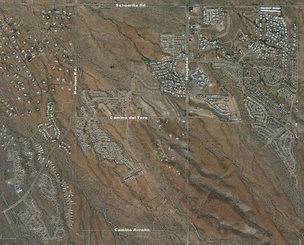
Click HERE to see Google aerial view of the 48 lots in Unit 5 the majority lot owners plan to pave and to see the latest Google aerial view of this area.
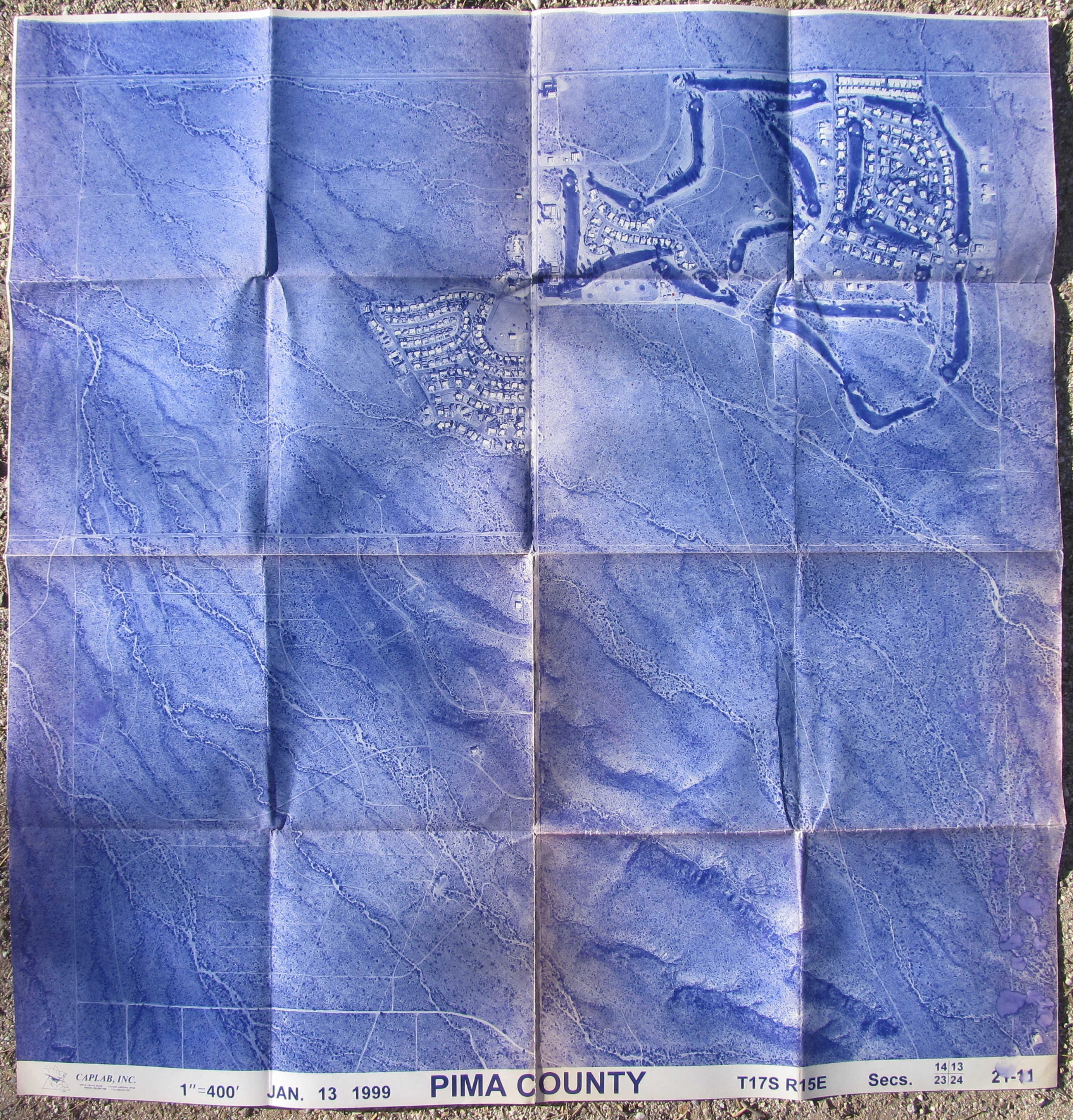
January 1999, I bought my first lots in 1997, you can see DeGregorio’s cabin.
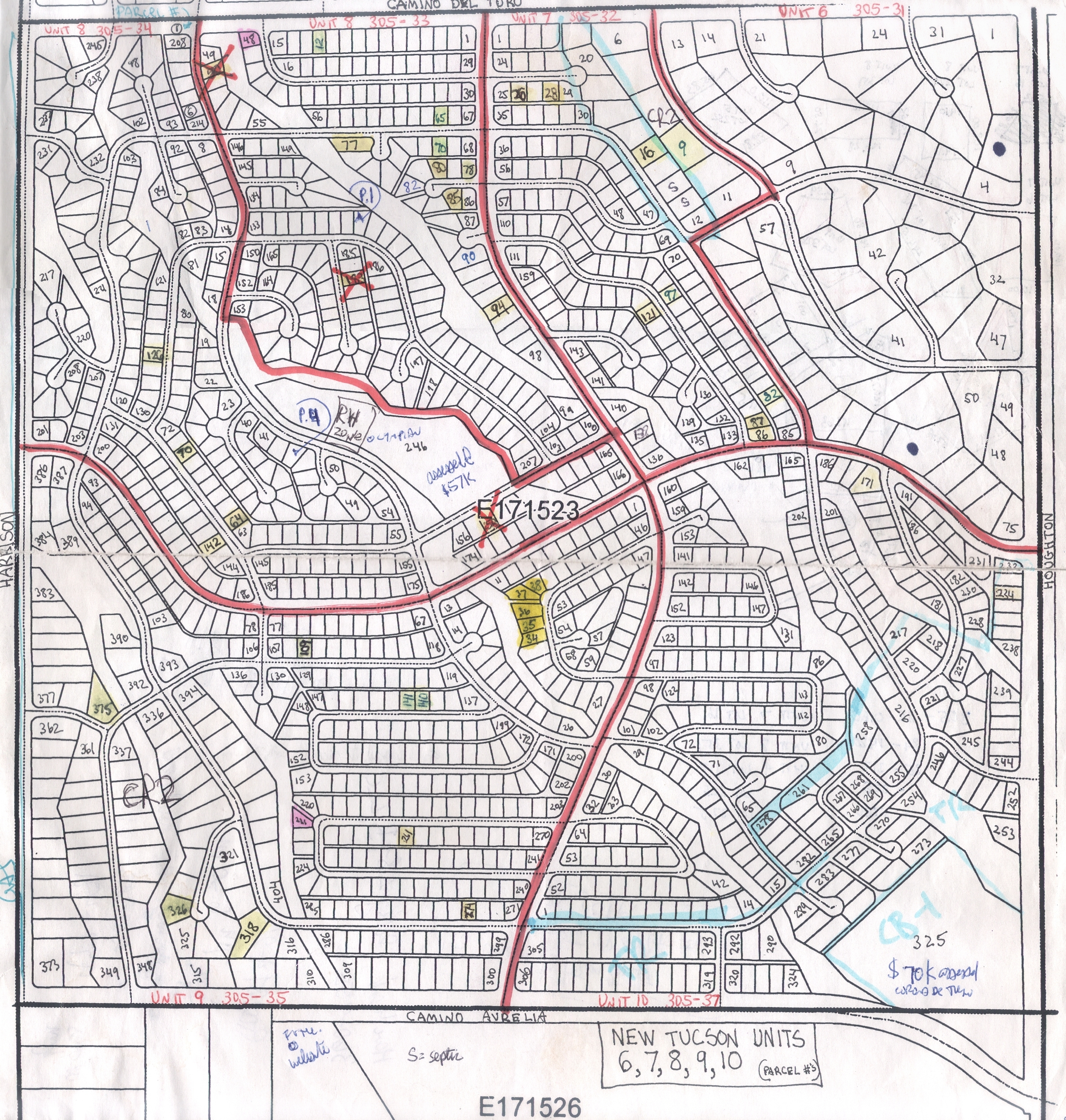
Units 6, 7, 8, 9, & 10N & 10S. Unit 6 is not a part of this fiasco, they were invited to join but declined. Lots in yellow are mine, the ones with “X’s” I sold.
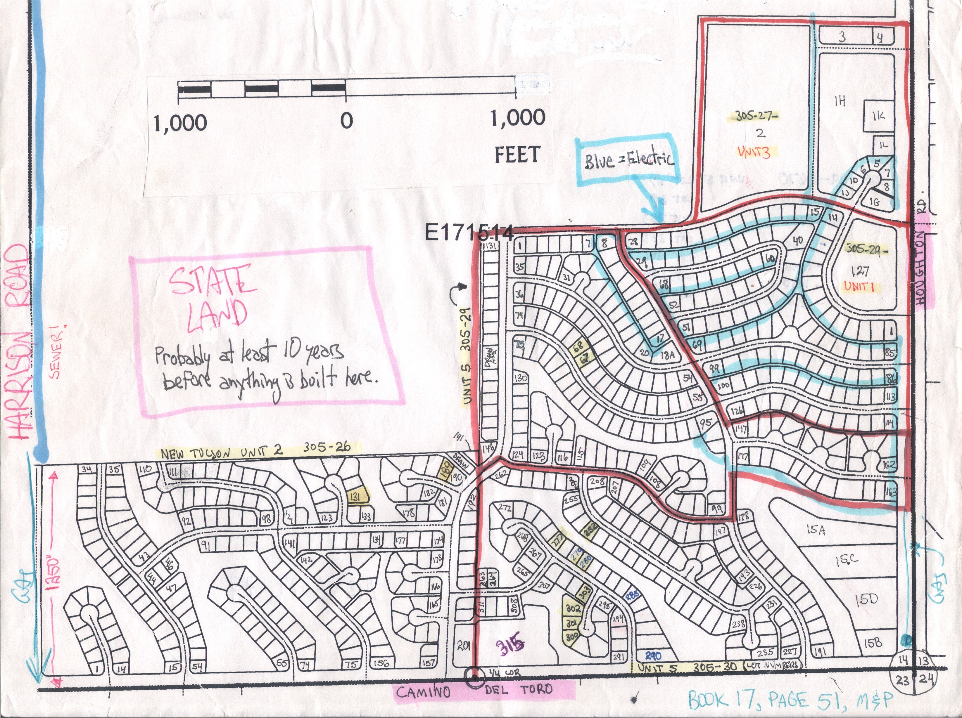
Units 2 & 5. Unit one in the NE corner was developed in the 60’s, there’s a baptist church on the large corner lot. Below Unit 1 is a part of Unit 5 that was developed too, they opted out of the Unit 5 HOA. Lots in yellow are mine.
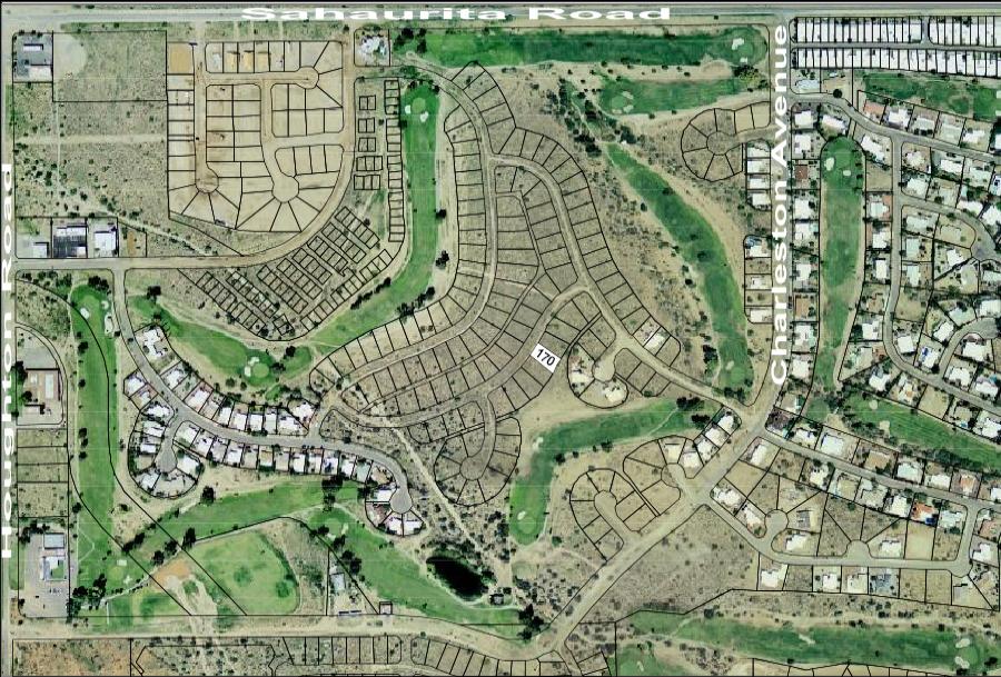
Unit 4 by the golf course, which recently closed. I own Lot 170. Someone dug a trench and brought water and electric to my lot and never charged me. Aerial pic is from 2007?

I am not familiar with this area. Formerly lived at Oro Valley CC and re-located to N. Scottsdale/Carefree area and returned to Green Valley, so I have not kept current on developments. Retired from R.E. although I still have my license. Looks like a fantastic development plan.